|
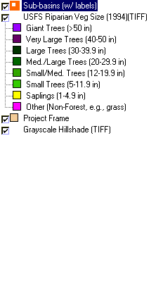
This is a map of vegetation size data within 90-meter riparian buffer zones in the Middle Garcia sub-basin, displayed with KRIS
sub-basins and a grayscale hillshade. The tree size classifications were derived from Landsat multi-spectral images taken in 1994.
Stand conditions are accurately represented at the one hectare scale. The small diameter tree size indicates early seral stage
conditions in much of the riparian zones in the sub-basin and a shortage of potential large wood for recruitment to streams. Data
were provided by the U.S. Forest Service Pacific Southwest Region Remote Sensing Lab, in cooperation with the California
Department of Forestry. Available layers include Vegetation Size, Topographic Map, and Change in Vegetation (1994-1998). Scale = 1:85,491 .
|
|