|
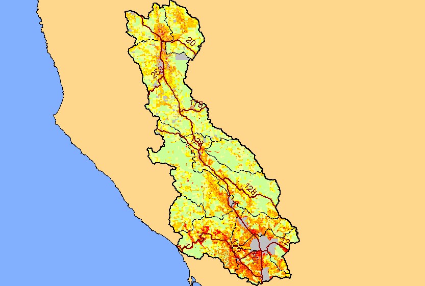
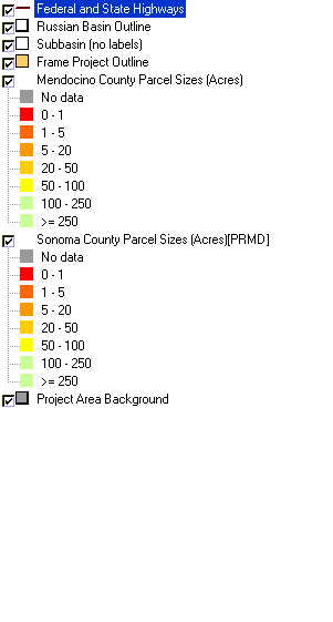
This is a map of the parcels in the KRIS Russian project, color-coded by size and displayed with KRIS sub-basins and highways. Parcel sizes are shown here as an
index of urbanization, with parcels less than one acre colored red. Parcel sizes were not available for some areas, including cities such as Santa Rosa. The southern
portion of the project area is more urbanized than the north. Data were provided by the Sonoma County Permit and Resource Management Department. Click the
check box next to a layer to toggle it on/off. Other available layers include land ownership layers, Calwater Planning Watersheds, Populated Places, topographic maps,
and streams. Scale = 1:822,559 .
|
|


